ARGO Home
Open menu
Stories
Themes
People
Partner Collections
About ARGO
Search
Features:
Manuscript
Animal
Cartouche
Printed
Hand Coloring
Manuscript
Surveys
Atlas
Non-Map
Views
Marginalia
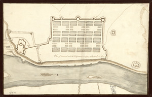
Plan of Savannah and its fortifications in 1782
Library of Congress Collection
See map
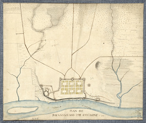
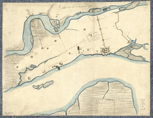
Plan of Savannah and its environs in 1782
Library of Congress Collection
See map
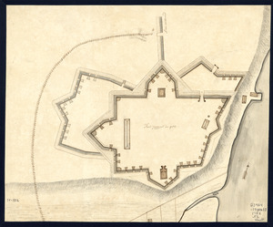
Ft. Provost in 1781
Library of Congress Collection
See map
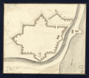
Fort Provost in 1782
Library of Congress Collection
See map
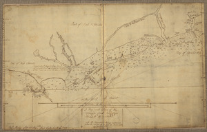
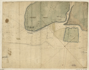
Tybee Island
Library of Congress Collection
See map
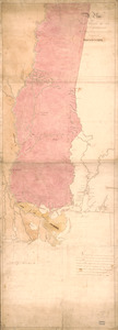
A Plan of West Florida, the Isle of Orleans, and some parts of the Spanish dominions to the westward of the Mississipi
Library of Congress Collection
See map
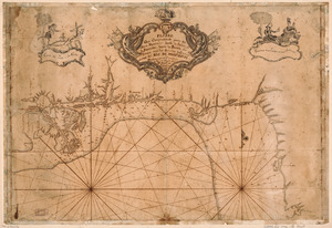
Plano que comprehende parte del Seno Mexicano desde la Bahia de la Asencion hasta la Bahia de Tampa
Library of Congress Collection
See map
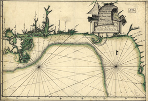
Descripsión de la costa de la Luciana y entrada en el Río de Micisipi con sus zonds. y baxos, nuebamte. correjido y enmendo por los pilos. de la Armada, el año 1769
Library of Congress Collection
See map
A map with part of the Florida coast from Cape Blaise to Apalachie
Library of Congress Collection
See map
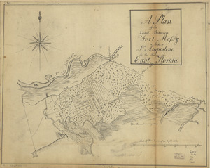
A plan of the land between Fort Mossy and St. Augustine in the province of East Florida
Library of Congress Collection
See map
St. Augustine and its environs
Library of Congress Collection
See map
Showing
541
to
552
of
946
results
Previous
Next