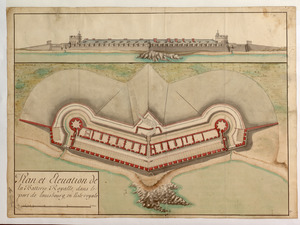
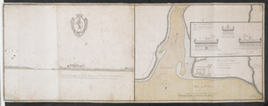
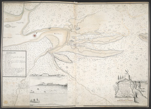
A PLAN of FORT CUMBERLAND on Will's CREEK & POTOMACK River with a View of the Store Houses belonging to the OHIO COMPANY on the Other Side of the River
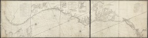
A new and accurate chart (from Captain Holland's surveys) of the North American coast, for the navigation between Cape Cod in New England, and the Havanna in the Gulf of Florida
Norman B. Leventhal Map & Education Center Collection